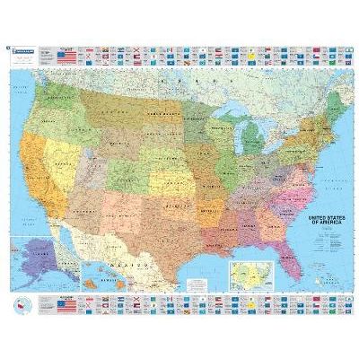
U.S.A Political
An annually updated political map of the USA. Beautifully coloured and laminated, with statistical information including population, surface area, state capital. Highlights the flags of each state. This laminated map, suitable to use with marker pens, is presented on a scale 1/3,450,000 and measures 100 x 127 cm. Our maps are regularly updated even if the ISBN does not change. (Edition updated in 2016)
We Also Recommend